
Vehicle registration OD Elevation 346 m Local time Thursday 10:46 PM | Time zone IST (UTC+5:30) Website odisha.gov.in Population 10,394 (2011) | |
 | ||
Weather 25°C, Wind S at 11 km/h, 35% Humidity | ||
Champua is a notified area council in Kendujhar district in the state of Odisha, India. It is one of the 5 scheduled areas under constitution of India.
Contents
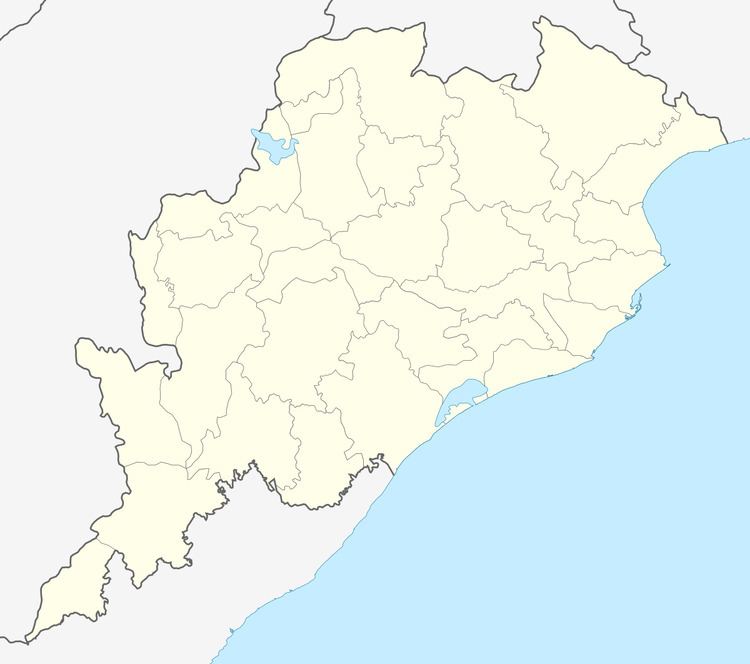
Map of Champua, Odisha 758041
Geography
Champua is located at 22.08°N 85.67°E / 22.08; 85.67. It has an average elevation of 346 metres (1135 feet).
Demographics
The Champua Census Town has population of 10,394, of which 5,543 are males, while 4,851 are females as per a report released by Census India 2011. In Champua Town, Female Sex Ratio is of 875 against state average of 979. The literacy rate of Champua city is 87.00% higher than the state average of 72.87%. In Champua, male literacy is around 90.85%, while female literacy rate is 82.59%.
Politics
The current MLA for Champua (GE) Assembly Constituency is Mr. Sanatan Mahakud of Independent candidate , who won the seat in the State elections of 2014 by defeating the Oriya comedy king Tatwa Prakash Satpathy (Pappu PamPam) with an approximately 14,000-seat margin.. Previous MLAs from this seat include Jitu Patnaik, who won MLA in 2009 by defeating the current MLA Mr. Sanatan Mahakud from an independent party, Dhanurjaya Sidhu, who won as MLA in 2005 by getting ticket from congress, Saharai Oram, who won as independent candidate in 2000, as JD candidate in 1990, as JNP(SC) candidate in 1980 and as JNP candidate in 1977; and Dhanurjay Laguri of INC, who won in 1995 and in 1985.
Champua is part of Keonjhar (Lok Sabha constituency).