Formed January 1, 1998 Postal Code FSA K0B Population 8,573 (2011) Area code 807 | Time zone EST (UTC-5) Website www.champlain.ca | |
 | ||
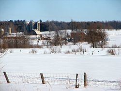
Champlain is a township in eastern Ontario, Canada, in the United Counties of Prescott and Russell on the Ottawa River. It was formed on January 1, 1998, through the amalgamation of Hawkesbury West Township, Longueuil Township, Town of Vankleek Hill, and the Village of L'Orignal.
Contents
Map of Champlain, ON, Canada
Communities
The township comprises the communities of Aberdeen, Cassburn, Green Lane, Happy Hollow, Henrys Corners, L'Ange-Gardien, L'Orignal, Pleasant Corners, Ritchance, Riviera Estate, Sandy Hill, Springhill, Vankleek Hill, Vankleek Hill Station, Village Lanthier, and St. Eugene.
Demographics
Population trend:
References
Champlain, Ontario Wikipedia(Text) CC BY-SA
