
Country Pakistan Division Gilgit Division Population 3,000 Elevation 150 m Area code 058114 | Region Northern Areas District Gilgit District Time zone PST (UTC+5) Postal code 15100 | |
 | ||
Weather 3°C, Wind SW at 5 km/h, 74% Humidity | ||
Chamogarh is a village 20 km from Gilgit city, in Gilgit-Baltistan. The word Chamogarh is derived from a Chammou mean fish in min local language. Danyor Alam bridge road crosses Chamogarh, it also connects it to Jalalabad, Danyor, Oshkhindass and Alam bridge. In the west, it is connected to the village of Harating, Jalalabad, Gilgit City, Hunza and Khunjerab top to China. Chamogarh has an intervening width of mountains.
Contents
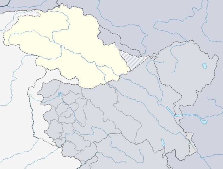
Map of Chhamugarh
Languages
There are at least two languages spoken in Chamogarh: the majority of the population speak Kohistani, and Pashtu and shina is also spoken here.
Schools
There are more than five educational institutions in Chamogarh: F.G Boys High School, F.G Girls School, (ALMS) Al Mehboob School and Iqra School. There are more than one thousand students in these institutions.
Agriculture
Agriculture is also the livelihood of the people of Chamogarh. Wheat and maize are grown abundantly. The fertile land of Chamogarh is also rich in fruits such as grapes, almond, apricot, amluk, meetha, pomegranate and apples.
Although Chamogarh is a small village, it has produced government officers in the army and in the Gilgit-Baltistan administration.