
Country Thailand Time zone ICT (UTC+7) Geocode 3118 Population 33,646 (2005) | Seat Mueang Yang Postal code 31110 Area 242 km² Province Buriram Province | |
 | ||
Chamni (Thai: ชำนิ, [t͡ɕʰām.níʔ]) is a district (amphoe) in the central part of Buriram Province, northeastern Thailand.
Contents
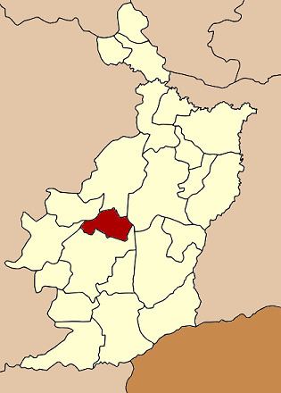
Map of Chamni District, Buriram, Thailand
Geography
Neighboring districts are (from the north clockwise) Lam Plai Mat, Mueang Buriram, Nang Rong, Nong Ki and Nong Hong of Buriram Province.
History
The minor district (king amphoe) was created on 1 April 1992, when the five tambon Chamni, Cho Phaka, Laluat, Mueang Yang, and Nong Plong were split off from Nang Rong district. It was upgraded to a full district on 5 December 1996.
Administration
The district is divided into six sub-districts (tambon), which are further subdivided into 64 villages (muban). There are no municipal (thesaban) areas, and six tambon administrative organizations (TAO).
References
Chamni District Wikipedia(Text) CC BY-SA