
Intercommunality Bénévent-Grand-Bourg Area 11.18 km² | Canton Grand-Bourg Population (2008) 234 Local time Thursday 12:34 AM | |
 | ||
Weather 9°C, Wind SW at 18 km/h, 95% Humidity | ||
Chamborand is a commune in the Creuse department in the Nouvelle-Aquitaine region in central France.
Contents
Map of Chamborand, France
Geography
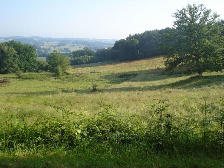
A village of farming, forestry, streams and lakes situated some 15 miles (24 km) west of Guéret, at the junction of the D4, D49 and the D10 roads.
Sights
References
Chamborand Wikipedia(Text) CC BY-SA