
Canton Évaux-les-Bains Local time Thursday 12:34 AM | Area 12.86 km² | |
 | ||
Intercommunality Évaux-les-Bains Chambon-sur-Voueize Weather 10°C, Wind SW at 19 km/h, 85% Humidity | ||
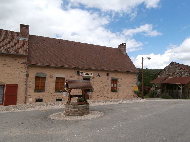
Chambonchard is a commune in the Creuse department in the Nouvelle-Aquitaine region in central France.
Contents
Map of 23110 Chambonchard, France
Geography
An area of lakes, forestry and farming comprising a small village and several hamlets, situated by the banks of the river Cher, the border with the département of Allier, some 12 miles (19 km) south of Montlucon at the junction of the D20, D25 and the D915 roads.
Sights
References
Chambonchard Wikipedia(Text) CC BY-SA