
Easiest route rock/snow/ice climb First ascent June 1953 Mountain range Himalayas Listing Ultra-prominent peak | Elevation 7,187 m Prominence 2,061 m Parent range Himalayas | |
 | ||
Location Gorkha District,
Gandaki Zone,
North central Nepal Similar Salasungo, Yangra, Jongsong Peak, Nemjung, Cho Polu | ||
Chamar is the highest peak of the Sringi (or Serang) Himal, which is a subrange of the Nepalese Himalayas.
Contents
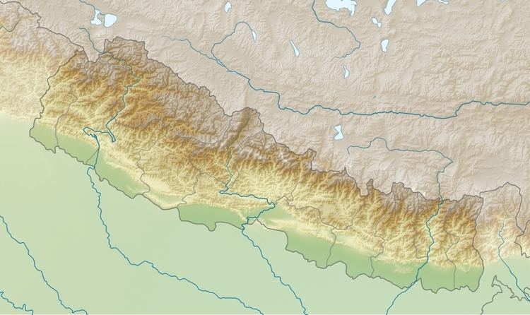
Map of Chamar, Chumchet, Nepal
Chamar and the entire Sringi Himal lie in Central Nepal, just south of the Tibetan border, between the Shyar Khola valley on the east and the Tom Khola–Trisuli Gandaki valley on the west. Chamar is about 90 km northwest of Kathmandu, and about 25 km east of Manaslu, the nearest eight-thousander.
Notable features
The Sringi Himal is small in land area and remote even by Himalayan standards; it has seen little visitation from outsiders.
Although low in elevation among the major mountains of Nepal, Chamar is exceptional in its steep rise above local terrain. For example, it rises 5500 m from the Tom Khola/Trisuli Gandaki confluence in a horizontal distance of about 13 km.
Climbing history
Interestingly, there is no record of attempts on this mountain prior to the successful first ascent in 1953. In May–June of that year, a party from New Zealand climbed the peak via the Northeast Ridge route, placing five camps.
The Himalayan Index lists three more unsuccessful attempts, in 1983, 1994, and 2000, but no more ascents of the peak.