
Country Thailand Time zone THA (UTC+7) Geocode 3032 Population 33,151 (2000) | Seat Tha Chang Postal code 30230, 30000 Area 254.1 km² | |
 | ||
Province Nakhon Ratchasima Province | ||
Chaloem Phra Kiat (Thai: เฉลิมพระเกียรติ, [t͡ɕʰā.lɤ̌ːm pʰráʔ kìa̯t]) is a district (amphoe) in the eastern part of Nakhon Ratchasima Province, northeastern Thailand.
Contents
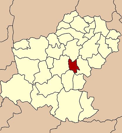
- Map of Chaloem Phra Kiat District Nakhon Ratchasima Thailand
- History
- Geography
- Administration
- References
Map of Chaloem Phra Kiat District, Nakhon Ratchasima, Thailand
History
Five tambon were separated from Chakkarat district to create the new district on December 5, 1996. It was one of five districts named Chaloem Phra Kiat created on the same date to commemorate the 50th anniversary of the ascencion to throne of King Bhumibol Adulyadej (Rama IX).
Geography
Neighboring districts are (from the north clockwise) Non Sung, Chakkarat, Chok Chai and Mueang Nakhon Ratchasima.
Administration
The district is subdivided into 5 subdistricts (tambon). The township (thesaban tambon) of Tha Chang covers parts of the tambon Tha Chang and Chang Thong.
References
Chaloem Phra Kiat District, Nakhon Ratchasima Wikipedia(Text) CC BY-SA