
Country Mexico Municipal seat Chalchihuites Area 891 km² | Elevation 2,270 m (7,450 ft) | |
 | ||
Website www.chalchihuites.gob.mx | ||
Chalchihuites, is a municipality in the Mexican state of Zacatecas and Durango, in the northwest of Mexico. The archaeological site of Altavista, at Chalchihuites, is located 137 miles to the northwest of the city of Zacatecas and 102 miles southeast of the city of Durango. Located to the west of Sombrerete in the northwestern corner of the Zacatecas state, it is believed that the site was a cultural oasis that was occupied more or less continuously from AD 100 to AD 1400.
Contents
Map of Chalchihuites, Zacatecas, Mexico
History
It was a Teotihuacano ceremonial center lying on the Tropic of Cancer. It has a number of important features, including petroglyphs, a processional walkway and the Hall of Columns. It has some of the best evidence for astronomical alignments at an archaeological site but remains poorly known.
The archaeologist Manuel Gamio referred to Chalchihuites as a “culture of transition” between the Mesoamerican civilizations and the so-called Chichimeca hunter-gatherers who lived in the arid plateau of central Mexico. Chalchihuites and La Quemada were both outposts of Mesoamerican settlement in an ecological and cultural frontier area. However, in this transition zone, climatic changes caused continual shifts in the available resource base, discouraging most attempts at creating permanent settlements.
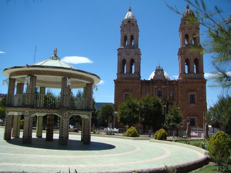
It is also known for a its large church that is located in its colonial center.
It founded by the Spanish captain Martin Perez in 1556 of a community from Guadalajara, in the first years after the conquest, became known as a mining center since 1591, when a group of Spaniards and Tlaxcalans were to be placed there by order of the viceroy Don Luis de Velasco. It is known that Don Lucas de Montealegre governed that colony as governor. The municipality dates from the same period as that of Sombrerete; From immemorial time it was part of the Mayor's Office of the same name, having constitutional character the year of 1824. Formerly it was called Real of Mines of the Valley of San Pedro de los Chalchihuites, they formed three districts or divisions: Chalchihuites, Tonalá and Nueva Tlaxcala, But in 1857 this last part, that belonged to Jalisco, was added to the State of Zacatecas by constitutional declaration.
Geography
The municipality of Chalchihuites is physically located in the Sierra Madre Occidental and Mesa Central. It has a territorial extension of approximately 891 km², and limits to the north with the municipality of Sombrerete, to the south with the municipality of Jiménez of Teúl and to the west with the State of Durango. The word Chalchihuites is of Nahuatl origin and means Emerald or precious stone. In the municipality of Chalchihuites five minutes away you will find a very beautiful place better known as Gualterio which has a hot springs spa.
Climate
The climate is very hot during the summer months and cold in the winter. The site sits lonely in the badlands about four miles east of the town of Chalchihuites. It is also close to the colonial town of Zacatecas, which has a distinctive cathedral.