
ISO 3166 code IN-WB Local time Thursday 3:09 AM | Time zone IST (UTC+5:30) Vehicle registration WB Population 12,035 (2011) | |
 | ||
Weather 22°C, Wind S at 5 km/h, 86% Humidity | ||
Chak Kashipur is a census town in Budge Budge II CD Block under Nadakhali police station of Alipore sadar subdivision in South 24 Parganas district in the Indian state of West Bengal.
Contents
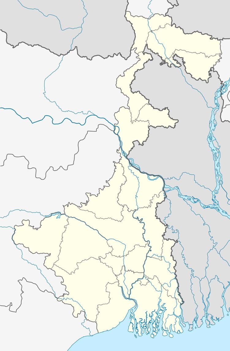
Map of Chak Kashipur, West Bengal
Geography
Chak Kashipur is located at 22.42°N 88.17°E / 22.42; 88.17.
Demographics
As per 2011 Census of India Chak Kashipur had a total population of 12,035, of which 6,373 (53%) were males and 5,662 (47%) were females. Population below 6 years was 1,499. The total number of literates in Chak Kashipur was 8,504 (80.71 % of the population over 6 years).
As of 2001 India census, Chak Kashipur had a population of 11,155. Males constitute 55% of the population and females 45%. Chak Kashipur has an average literacy rate of 65%, higher than the national average of 59.5%; with male literacy of 72% and female literacy of 56%. 13% of the population is under 6 years of age.