
ISO 3166 code IN-WB Local time Thursday 3:06 AM | Time zone IST (UTC+5:30) Vehicle registration WB Population 6,754 (2011) | |
 | ||
Weather 22°C, Wind SE at 5 km/h, 85% Humidity | ||
Chak Enayetnagar is a census town in Bishnupur II CD Block under Bishnupur police station of Alipore sadar subdivision in South 24 Parganas district in the Indian state of West Bengal.
Contents
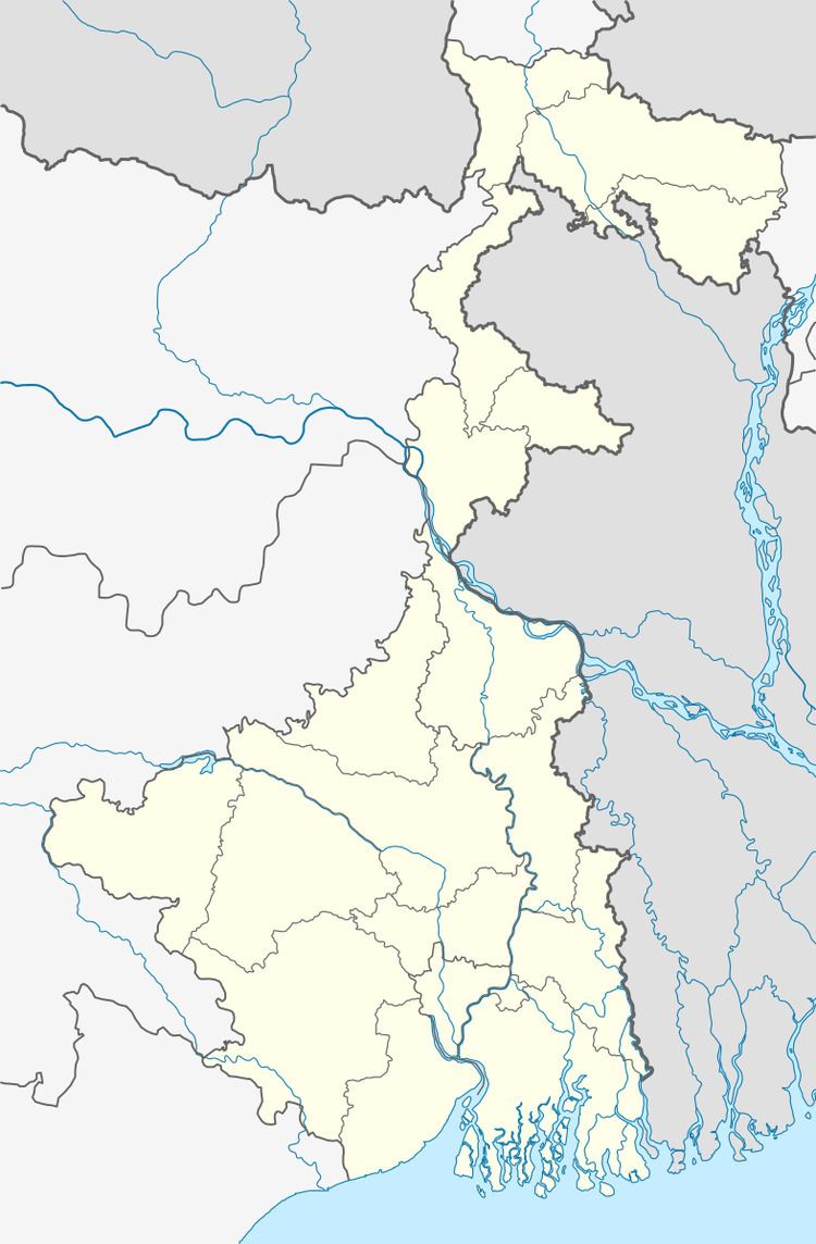
Map of Chak Enayetnagar, West Bengal 743503
Geography
Chak Enayetnagar is located at 22.37°N 88.30°E / 22.37; 88.30.
Demographics
As per 2011 Census of India Chak Enayetpur had a total population of 6,754, of which 3,491 (52%) were males and 3,263 (48%) were females. Population below 6 years was 929. The total number of literates in Chak Enayetpur was 4,524 (77.67 % of the population over 6 years).
As of 2001 India census, Chak Enayetnagar had a population of 5661. Males constitute 50% of the population and females 50%. Chak Enayetnagar has an average literacy rate of 54%, lower than the national average of 59.5%; with male literacy of 60% and female literacy of 47%. 17% of the population is under 6 years of age.