
Time zone ICT (UTC+7) Population 58,350 (2015) | Elevation 607 ft (185 m) Area 30.78 km² Local time Thursday 4:28 AM | |
 | ||
Weather 25°C, Wind E at 6 km/h, 87% Humidity University Kamphaeng Phet Rajabhat University Amphoes Chaiyaphum Province, Mueang Chaiyaphum District | ||
A drive through chaiyaphum city chaiyaphum province thailand
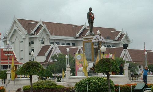
Chaiyaphum (Thai: ชัยภูมิ (Pronunciation)) is a town (thesaban mueang) in northeastern Thailand, capital of Chaiyaphum Province. As of 2015 it had a population of 58,350, and covers the full tambon Nai Mueang of Mueang Chaiyaphum district. Chaiyaphum is 337 road km northeast of Bangkok.
Contents
Geography
Chaiyaphum lies on the Khorat plateau at 185 metres (607 ft) above sea level. The land in the immediate vicinity of the city is quite flat, but the Phetchabun mountains rise to the west.
Climate
Chaiyaphum has a tropical savanna climate (Köppen climate classification Aw). Winters are dry and very warm. Temperatures rise until April, which is very hot with the average daily maximum at 36.4 °C (97.5 °F). The monsoon season runs from late April through October, with heavy rain and somewhat cooler temperatures during the day, although nights remain warm.
Transportation
Route 201 begins in Chum Phae, and runs past Chaiyaphum (without actually entering the town) to Mittraphap near Sikhio. Route 202 leads east to Yasothon, Amnat Charoen, and the border with Laos at Khemarat. Route 225 leads west to Nakhon Sawan.