
Country Greece Time zone EET (UTC+2) Vehicle registration Z Area 22.66 km² Area code 210 Regional unit West Athens | Elevation 95 m (312 ft) Postal code 125 xx Website www.haidari.gr Local time Wednesday 10:16 PM Administrative region Attica | |
 | ||
Weather 12°C, Wind E at 8 km/h, 75% Humidity | ||
Chaidari (Greek, modern: Χαϊδάρι, Ancient/Katharevousa: Χαϊδάριον), is a suburb in the western part of the Athens agglomeration, west of central Athens and north of Piraeus.
Contents
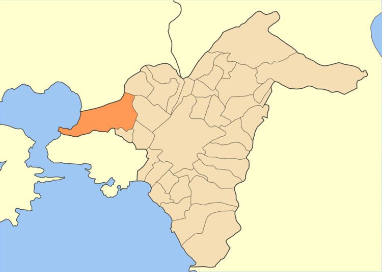
Map of Chaidari, Greece
Geography
The municipality has an area of 22.655 km2. The geography of the municipality of Chaidari is diverse: the eastern part, where the town Chaidari is situated, is densely populated and forms a continuous built up area with the inner suburbs of Athens. The rocky Aigaleo hills run through the central part of the municipality. The pine forest of Dafni and the Daphni Monastery lie on the eastern slopes of Aigaleo. The westernmost part of Chaidari is the small industrial port town Skaramagkas, on the Saronic Gulf near Eleusis. The main roads of Chaidari are the Greek National Road 8 (the old road from Athens to Corinth) and the Iera odos.
Concentration camp
The Haidari concentration camp (Greek: στρατόπεδο συγκέντρωσης Χαϊδαρίου, stratópedo syngéntrosis Chaidaríou, German: KZ Chaidari) was a concentration camp operated by the German Schutzstaffel in Haidari during the Axis Occupation of Greece from September 1943 to September 1944.
The camp is now a monument to the Greek Resistance.