Trisha Shetty (Editor)

Chaglla District

Updated on
Edit
Like
Comment
Share on FacebookTweet on TwitterShare on LinkedInShare on Reddit
Country
  
Peru

Founded
  
November 29, 1918

Time zone
  
PET (UTC-5)

Elevation
  
3,000 m

Province
  
Pachitea Province

Region
  
Huánuco

Capital
  
Chaglla

UBIGEO
  
100802

Area
  
664.5 km²

Chaglla District staticpanoramiocomphotosoriginal25352414jpg

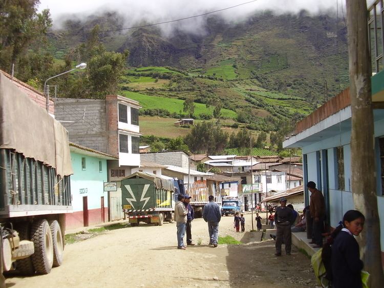
Chaglla District is one of four districts of the province Pachitea in Peru.

Contents

Map of Chaglla, Peru

Populated centers

In the district there are 22 towns, one of which is urban and the 21 remaining rural.

Urban towns

  • Chaglla (2604 pop.)
  • Rural towns

  • Chunatahua (332 pop.)
  • San Miguel (155 pop.)
  • Chinchavito (460. hab)
  • Puerto Guadalupe (266 pop.)
  • Santa Rita Baja (364 pop.)
  • Santa Rita Alta (274 pop.)
  • Santa Rita Sur (222 pop.)
  • Pampamarca (240 pop.)
  • Miraflores (243 pop.)
  • Andahuaylas (178 pop.)
  • Pasto (186 pop.)
  • Palmamonte (166 pop.)
  • Chinchopampa (198 pop.)
  • Chihuanhuay (161 pop.)
  • Agua Blanca (175 pop.)
  • Illatingo (210 pop.)
  • San Cristóbal de Naunán (156 pop.)
  • Quishuar (161 pop.)
  • Yanano (252 pop.)
  • Montevideo (319 pop.)
  • Pueblo Libre (198 pop.)
  • Disperse population

    People living in communities with fewer than 151 people joined 3542.

    References

    Chaglla District Wikipedia