Time zone IST (UTC+5:30) | Metro Hyderabad PIN 500 024 | |
 | ||
Government body Greater Hyderabad Municipal Corporation | ||
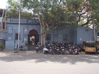
Chaderghat is considered as one of the busiest areas of Hyderabad city and is located on the banks of Musi river. Chaderghat bridge was built during the time of the Nizams and connects major suburbs to the main city.
Contents
- Map of Chaderghat Malakpet Hyderabad Telangana 500024
- History
- Commercial Significance
- Health Institutes
- Transport
- References
Map of Chaderghat, Malakpet, Hyderabad, Telangana 500024
History
Chaderghat was first declared a Municipality in 1886. In 1933, it was merged with Hyderabad Municipality to form Hyderabad Municipal Corporation. Chaderghat is surrounded by Koti, Gowliguda, Kachiguda, Darulshifa and Malakpet Localities.
Commercial Significance
There is a shopping area with various shopping malls and corner grocery stores.
The Hyderabadi restaurant, Niagara is located here. This is also a home to few popular movie theatres Kamal and Tirumala which are now closed because of space issues. Chaderghat main road is named after Dr.Rajendra Prasad, and is also referred as Dr.Rajendra Prasad Marg.
Health Institutes
Home to Multi-speciality hospitals like New Life Hospitals and Yashoda Hospitals
Transport
Chaderghat is well connected by TSRTC buses.
The nearest MMTS Train station is at Malakpet.
TSRTC bus terminal MGBS (Mahatma Gandhi Bus Station) is located 0.5 km from Chaderghat
