Time zone MST (UTC-7) Area 255 ha | Elevation 5,800 ft (1,800 m) Area code(s) 970 Population 329 (2010) | |
 | ||
Chacra is a census-designated place (CDP) in Garfield County, Colorado, United States. The population as of the 2010 census was 329.
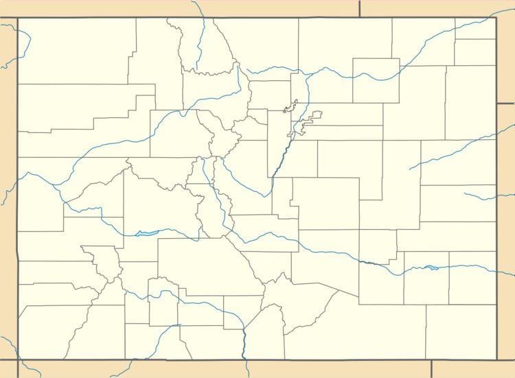
Map of Chacra, Colorado 81601, USA
It is located on the north side of Colorado River, 8 miles (13 km) west of Glenwood Springs, the county seat. Interstate 70 passes through the community, with access from Exit 109. According to the U.S. Census Bureau, the Chacra CDP has a total area of 0.98 square miles (2.55 km2), of which 0.95 square miles (2.45 km2) is land and 0.04 square miles (0.10 km2), or 3.87%, is water.
References
Chacra, Colorado Wikipedia(Text) CC BY-SA
