
Last eruption 1773 | Elevation 4,643 m | |
 | ||
Similar Cochiquito Volcanic Group, Caichinque, Auquihuato, Huanquihue Group, Yanteles | ||
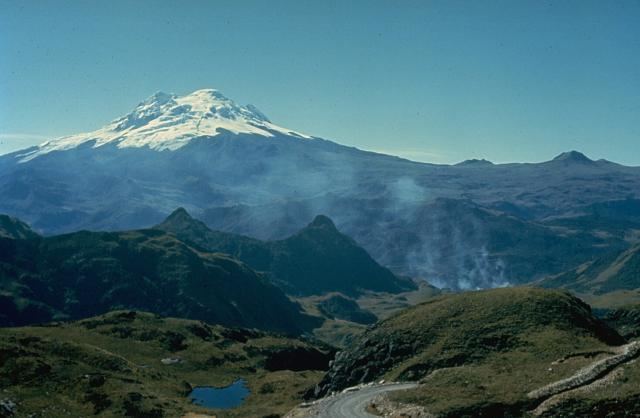
Chacana is a large 32-km long - 18-24 km wide caldera that has erupted in historical times. It forms one of the largest rhyolite centers in the Northern Andes with major eruptions over the past 240,000, 180,00, and 160,000 years ago and has had andesitic-rhyolitic volcanism. With dactic lava flows continuing into historical times. Lava domes were also constructed in the Holocene. Chacana is located 30 km from Quito and the large Antisana volcano is constructed to the southeast.
Contents
Map of Chacana, Ecuador
Eruptions
Eruptions in the past 10,000 years have been limited to small lava flows originating from Fissures.
References
Chacana Wikipedia(Text) CC BY-SA