
Main source Chéticamp Lake Basin area 806 km² | Basin size 806 km (311 sq mi) | |
 | ||
River mouth Gulf of St. Lawrencesea level | ||
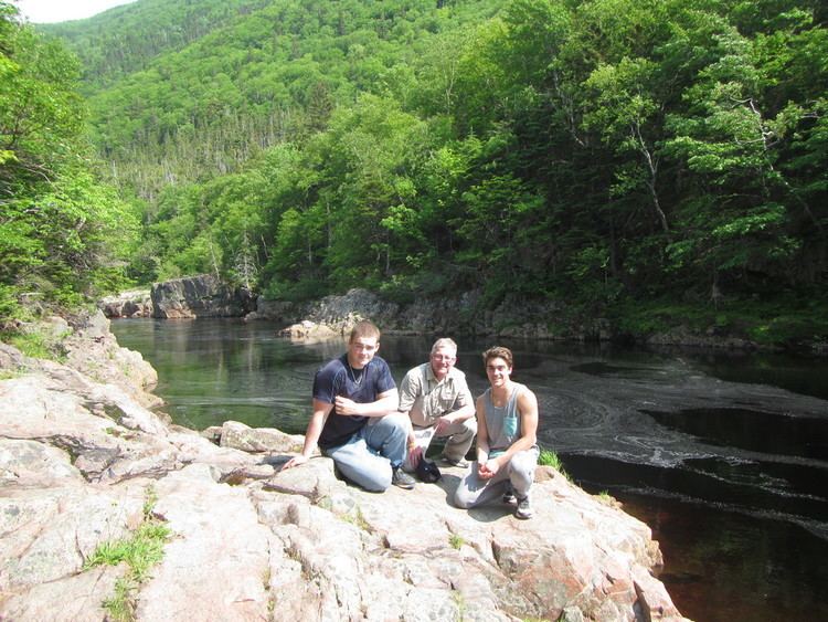
The Chéticamp River is a river on Cape Breton Island, Nova Scotia, located at the western entrance to Cape Breton Highlands National Park which includes Acadian Trail. According to estimates by the Province of Nova Scotia, there are 2,650 people resident within the Chéticamp watershed in 2011.
Map of Ch%C3%A9ticamp River, Nova Scotia, Canada
The river flows from Chéticamp Lake in the Cape Breton Highlands into the Gulf of Saint Lawrence at the village of Chéticamp, Nova Scotia. Some of the outflow of the lake has been diverted for a hydroelectric project.
Atlantic Salmon visit this river to spawn.
References
Chéticamp River Wikipedia(Text) CC BY-SA