
Country Vietnam Capital Ngãi Giao Area 421 km² Local time Friday 11:25 PM | Region Southeast Time zone UTC + 7 (UTC+7) Province Ba Ria–Vung Tau Province | |
 | ||
Weather 24°C, Wind E at 14 km/h, 72% Humidity | ||
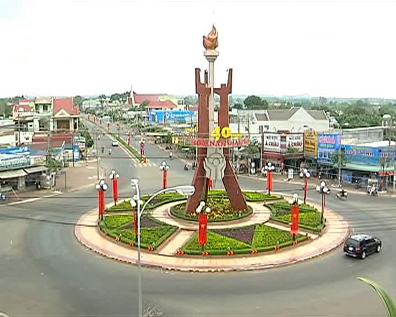
Châu Đức is a rural district of Bà Rịa–Vũng Tàu Province in the Southeast region of Vietnam. As of 2003 the district had a population of 149,707. The district covers an area of 421 km². The district capital lies at Ngãi Giao.
Contents
Map of Ch%C3%A2u %C4%90%E1%BB%A9c District, Ba Ria - Vung Tau, Vietnam
There are some natural sights here such as Bàu Sen and the Xuân Sơn waterfall.
Administrative divisions
The district is divided administratively into 1 township Ngãi Giao and 14 communes: Cù Bị, Kim Long, Xà Bang, Quảng Thành, Láng Lớn, Bàu Chinh, Bình Ba, Suối Nghệ, Bình Trung, Bình Giã, Xuân Sơn, Sơn Bình, Suối Rao, Đá Bạc
References
Châu Đức District Wikipedia(Text) CC BY-SA