
Intercommunality Romorantinais Area 35.33 km² | Time zone CET (UTC+1) Population 1,069 (2006) | |
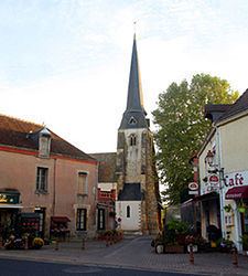 | ||
Châtres-sur-Cher is a commune in the Loir-et-Cher department in central France.
Contents
Map of 41320 Ch%C3%A2tres-sur-Cher, France
Geography
The Rère forms the commune's northern border.
The Cher forms part of the commune's southern border.
References
Châtres-sur-Cher Wikipedia(Text) CC BY-SA