
Length 280 km | River mouth Magdalena River Country Colombia | |
 | ||
Similar Sierra Nevada de Santa Ma, Nudo de los Pastos, Serranía del Baudó, Sierra Nevada de Santa Ma, Cordillera de Mérida | ||
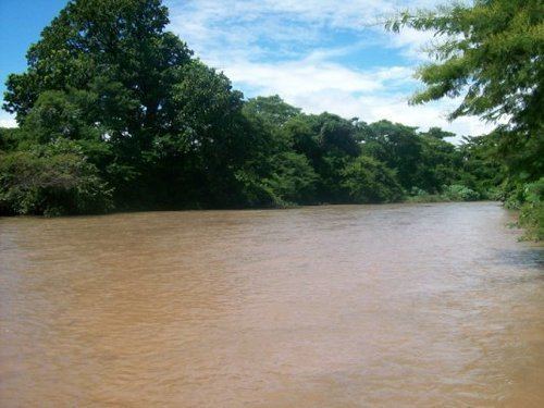
The Cesar River is a river in northern Colombia which is a part of the Magdalena Basin. It separates the Sierra Nevada de Santa Marta from the mountain ranges of the Serranía del Perijá an extension of the Cordillera Oriental. It flows north to south, down from the Sierra Nevada de Santa Marta in the Guajira Department onto the Cesar Department and flowing into the Zapatosa Marsh where it turns to the southwest and discharges into the Magdalena River. Valledupar is the only major city on its route.
Tributaries
References
Cesar River Wikipedia(Text) CC BY-SA