
Elevation 2,451 m | Traversed by U.S. Route 50 | |
 | ||
Similar Coal Bank Pass, Cochetopa Pass, Curecanti Needle, Marshall Pass, Poncha Pass | ||
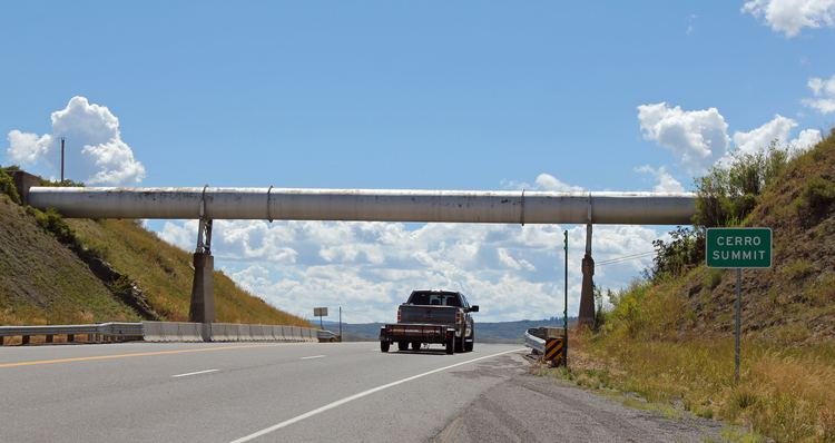
Cerro Summit (el. 8,042 ft.) is a mountain pass in Colorado, located about fourteen miles east of Montrose, Colorado. It divides the watershed of the Cimmaron River to the east and the Uncompahgre River to the west, both of which flow into the Gunnison River.
Map of Cerro Summit, Colorado 81401, USA
The summit is traversed by U.S. Route 50. In 1882 the Denver and Rio Grande Railroad constructed their narrow gauge mainline over the summit to pass from Gunnison to Montrose, and eventually to Salt Lake City, Utah. The rail line over Cerro Summit was dismantled in 1949.
References
Cerro Summit Wikipedia(Text) CC BY-SA