
Topo map Bland Elevation 3,111 m | Easiest route Trail hike Prominence 201 m | |
 | ||
Similar Chicoma Mountain, Redondo Peak, Valles Caldera, Santa Fe Baldy, Cerro Pedernal | ||
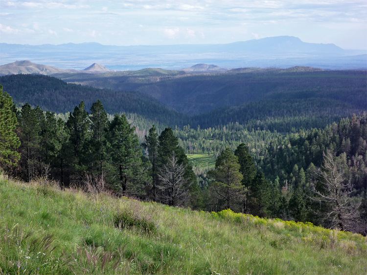
Cerro Grande is a 10,207-foot (3,111 m) summit on the rim of the Valles Caldera not far north of New Mexico State Road 4, the main highway through Los Alamos County. Like many mountains in the Jemez, Cerro Grande was mainly covered with coniferous forest, composed largely of ponderosa pine and aspen trees, with a characteristic rincon (meadow) on its slopes on and south of the summit.
Map of Cerro Grande, New Mexico 87025, USA
In May 2000, a prescribed burn on Cerro Grande got out of control and became the Cerro Grande Fire, a forest fire that burned 48,000 acres (190 km²) and destroyed hundreds of homes. Much of the forest on Cerro Grande itself was not damaged badly or at all. However, the whole mountain burned severely in the Las Conchas Fire of 2011.
References
Cerro Grande (New Mexico) Wikipedia(Text) CC BY-SA