Elevation 2,529 m | Mountain range Sierra de Quila | |
 | ||
Similar Sangangüey, Ceboruco, El Jorullo, Nevado de Colima, Michoacán–Guanajuato volcanic field | ||
Cerro el huehuent n mesa del cobre mexico
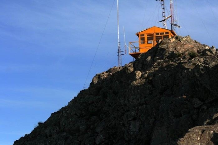
The Cerro El Huehuentón (Nahuatl: Huēhuēntōn "little old man") is the highest peak of the Sierra de Quila; it stands at 8,298 ft above sea level. El Huehuentón is located at about a 30-minute drive from Lagunillas, the largest population enclaved in the forest, between the municipalities of San Martín de Hidalgo and Tecolotlán, in Jalisco.
Contents
Map of Cerro El Huehuent%C3%B3n, Jalisco, Mexico
It is not known why the mount got its peculiar name meaning "little old man", although the Tepenahuales, who spoke Nahuatl, inhabited the area since the 15th century.
References
Cerro El Huehuentón Wikipedia(Text) CC BY-SA
