
Last eruption unknown | Elevation 3,876 m Parent range Andes | |
 | ||
Similar Cerro Lípez, Jayu Quta, Nevado Anallajsi, Tocorpuri, Cerro Capurata | ||
Cerro Columa, or Cerro Colluma, is a crater in Bolivia. In 1964 it was considered to be a crater formed by volcanism. Its rims reach an altitude of 3,820 metres (12,530 ft) and in the crater lies a playa lake. The crater has dimensions of 6–6.7 kilometres (3.7–4.2 mi). The crater was most likely formed by the collapse of a sediment dome, an origin as a meteorite crater is less likely.
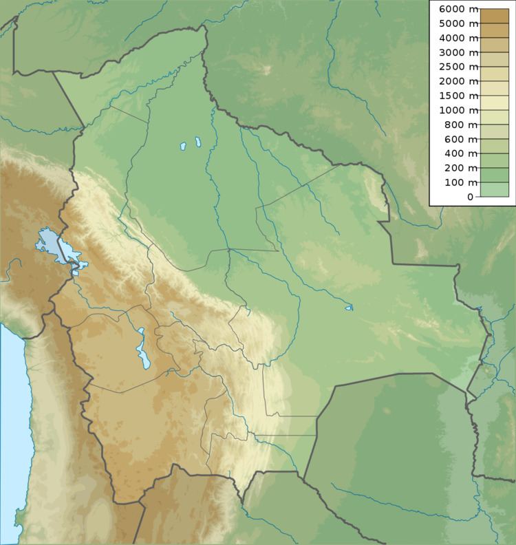
Map of Cerro Columa, Bolivia
The crater lies on a poorly vegetated desert plain that slopes to Salar de Coipasa. The surrounding plain has an altitude of 3,830 metres (12,570 ft) and was covered by Lake Minchin during the Pleistocene.
References
Cerro Columa Wikipedia(Text) CC BY-SA