
Prominence 169 m | Elevation 3,400 m | |
 | ||
Topo map USGS Easley Hot Springs Easiest route Simple scramble, class 2 Similar Glassford Peak, Ryan Peak, Duncan's Peak, Mount Corruption, Angel's Perch | ||
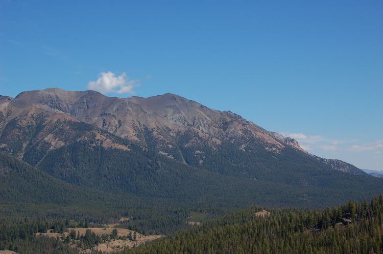
Cerro Ciento, at 11,154 feet (3,400 m) above sea level is the tenth highest peak in the Boulder Mountains of Idaho. Located in the Hemingway–Boulders Wilderness of Sawtooth National Recreation Area on the border of Blaine and Custer counties, Cerro Ciento is about 0.8 miles (1,300 m) north of Easley Peak. Cerro Ciento is the 80th highest peak in Idaho.
Map of Cerro Ciento, Idaho 83226, USA
The easiest route is an off-trail class 2 scramble from the end of the Spring Creek Road, which can be accessed from Idaho State Highway 75. The peak is easily visible from the highway and Galena Summit.
References
Cerro Ciento Wikipedia(Text) CC BY-SA