
Postal code 30204 | Time zone UTC -3 Dial plan +598 4466 (+4 digits) | |
 | ||
Departments Durazno DepartmentFlorida DepartmentTreinta y Tres Department | ||
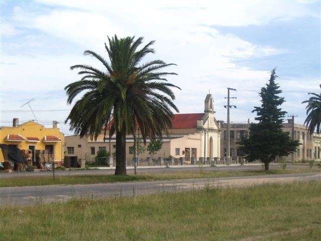
Cerro Chato ([ˈsero ˈtʃato], Plain Hill) is a town of central Uruguay, which is divided in three parts belonging to Durazno Department, Florida Department and Treinta y Tres Department respectively.
Contents
- Map of Chato Volcano Alajuela Province San Carlos Costa Rica
- Location
- History
- The Plebiscite of Cerro Chato of 1927
- Population
- Places of worship
- References
Map of Chato Volcano, Alajuela Province, San Carlos, Costa Rica
Location
The town is located along Route 7, northeast by road from Valentines and southwest of Santa Clara de Olimar.
History
On 8 January 1942, Cerro Chato was declared a "Pueblo" (village) by the Act of Ley Nº 10.112. Its status was elevated to "Villa" (town) by the Act of Ley Nº 13.299 on 17 November 1964.
The Plebiscite of Cerro Chato of 1927
In 1927, a plebiscite took place in Cerro Chato to decide to which department it would belong: Durazno, Florida or Treinta y Tres. For this referendum, the women of the town were called to vote. That was the first time in Latin America that women exercised the right to vote. The Department of Durazno won the plebiscite, but this result was not accepted by the authorities. Therefore, Cerro Chato still belongs to the three departments.
Population
According to the 2004 census it had a total population of 3,227, of these 1,694 in Trenta y Tres, 1,124 in Durazno and 409 in Florida.
Source: Instituto Nacional de Estadística de Uruguay