
Mountain type Stratovolcano Elevation 4,000 m Mountain range Cordillera Central | Last eruption 1720 Parent range Cordillera Central | |
 | ||
Similar Doña Juana, Caichinque, Cochiquito Volcanic Group, Cerro del Azufre, Auquihuato | ||
Venecia cerro bravo r2 trekking
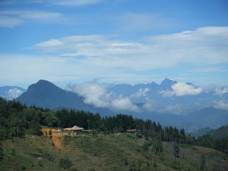
Cerro Bravo is a stratovolcano located in Tolima Department, Colombia, north of the Nevado del Ruiz volcano.
Contents
Volc n cerro bravo herveo tolima
Eruptive history
As with many volcanoes in the region, Bravo's eruptions are often characterized by a central vent (caldera) eruption, followed by an explosive eruption and pyroclastic flows. However, it is unique in the fact that its eruption have also produced lava domes in its caldera. Such eruptions occurred in 1720 ± 150 years, 1050 ± 75 years, and 750 AD ± 150 years (through radiocarbon dating). Eruptions consisting of just a central vent eruption and subsequent explosive eruption took place in 1330 ± 75 years, 1310 BC ± 150 years, 1050 BC ± 200 years and 4280 BC ± 150 years.
References
Cerro Bravo Wikipedia(Text) CC BY-SA