
Elevation 2,043 m | Prominence 441 m | |
 | ||
Topo map USGS Cerro Alto Mountain Similar North Franklin Mountain, Bush Mountain, Potrillo volcanic field, Hunter Peak, El Capitan | ||
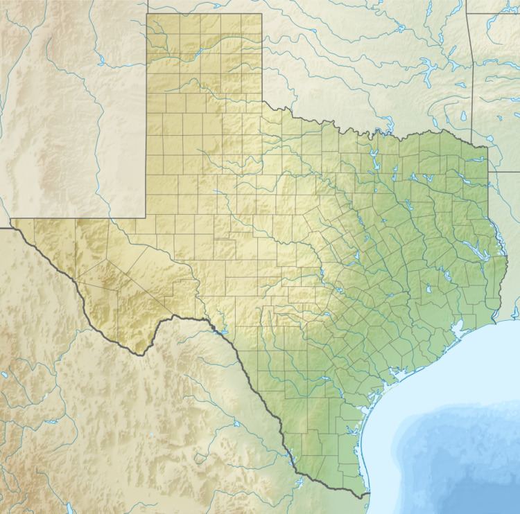
Cerro Alto Mountain is a mountain in western Texas east of El Paso along U.S. Route 180. It is the highest point in the Hueco Mountains.
Map of Cerro Alto Mountain, Texas 79938, USA
The awelo of the Tigua Indians is believed to reside near Cerro Alto Mountain.
References
Cerro Alto Mountain Wikipedia(Text) CC BY-SA