
Time zone CET (UTC+1) Website www.cerovlje.hr Local time Wednesday 11:39 AM Area code 52 | Postal code 52402 Area 105 km² Population 1,677 (2011) | |
 | ||
Weather 16°C, Wind NE at 18 km/h, 24% Humidity | ||
Cerovlje (Italian: Cerreto) is both a village and the surrounding municipality (group of villages gathered together for governmental purposes); it is at the centre of the northern boundary of the Istrian peninsula in Croatia.
Contents
Map of 52402, Cerovlje, Croatia
Description
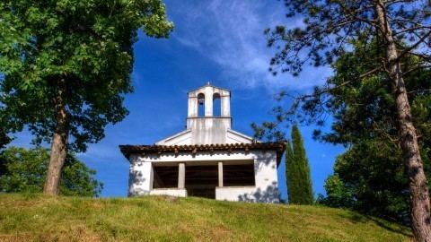
Many ancient towns and decayed castles (Belaj, Posert, Paz, Gologorica, Gradinje) can be found in its territory. Almost every town or castle in Cerovlje is on top of a hill, from where they could see enemies from a farther distance. During the Middle Ages (under the reign of the Holy Roman Empire), the people of Cerovlje also built many churches.
Demographics
The total population of Cerovlje is 1,667 (census 2011).
The census of 2011 had recorded the following settlements:
Municipality Lanišće
Note: Emerged from old Pazin municipality. From 1857 until 1971 includes part of the data of Pazin.
Lanišće (village)
Note: In 1921 part of data is contained in Gologorica. In 1931 contains data from villages Gologorica, Gologorički Dol and Previž.