
 | ||
The Central Highlands is a region of Victoria. This term is mainly used in a geological context to describe the part of the Great Dividing Range in Victoria that is outside of the Alpine areas. The area is situated east of Ballarat, south of Bendigo, north and east of Melbourne, west of the Alpine areas and includes the Great Dividing Range. Major towns of the highlands include Castlemaine, Creswick, Daylesford, Gisborne, Kyneton and Woodend. All these towns are located in the western part of the Central Highlands usually referred to as the West Central Highlands. The eastern part of the Central Highlands referred to as the East Central Highlands also contains areas of rainforest.
Contents
Rainforests
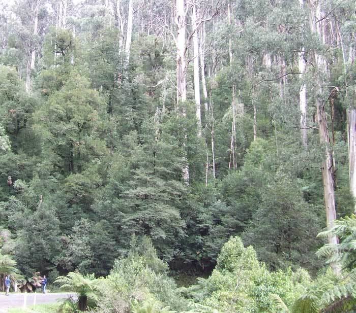
The East Victorian Central Highlands, including Melbourne's forested water catchments, contain cool temperate rainforests; dominated by myrtle beech and southern sassafras, with an understorey of ferns and mosses. They may also contain eucalypt trees and blackwood.
Logging and environmental impact
The Central Highlands Regional Forest Agreement protects approximately 43.84% of rainforest stands in the Central Highlands of Victoria within dedicated reserves. Any rainforest that is not within these dedicated reserve is susceptible to the impacts of clearfell logging. A paper published in the US-based Proceedings of the National Academy of Sciences reports that the world’s most carbon dense forest is found in the Central Highlands of Victoria.
Logging is proceeding in very significant regions of the Toolangi State Forest, including forest that provides habitat for the endangered Leadbeater's possum such as Nolan's Gully, and forest adjacent to Sylvia Creek Road.