
Population 22,401 (2015 est) State electorate(s) Braddon Area 931.1 km² Federal division Division of Braddon | Mayor Jan Bonde Central Coast Council Devonport Council seat Tasmania Team NW Tasmania Thunder | |
 | ||
Region Ulverstone and Penguin area Points of interest Gunns Plains Cave, Mount Montgomery State Res, Preston Falls, Dial Range Destinations Ulverstone, Penguin, Gunns Plains - Tasmania, Forth, Turners Beach | ||
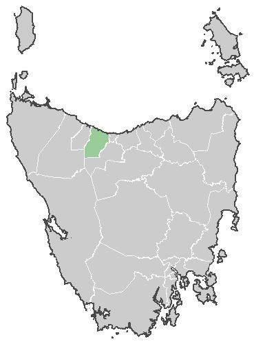
The Central Coast Council is a local government area of Tasmania, Australia on the north-west coast of the state, between the cities of Devonport and Burnie.
Map of Central Coast, TAS, Australia
The municipality contains two major centres Ulverstone and Penguin, smaller towns include Forth, and Turners Beach.
The Central Coast includes the tourist destinations Leven Canyon and Black Bluff, as well as a number of rural areas such as Upper Castra.
The Central Coast Council was created on 2 April 1993, and covers an area of 932 square kilometres (360 sq mi). The municipal boundaries are the Blythe River in the west, Braddons Lookout Road in the east and Black Bluff in the south.
TFR for Central Coast Council was estimated at 1.92 in 2001 and 2.28 in 2006.
References
Central Coast Council, Tasmania Wikipedia(Text) CC BY-SA