
GNIS feature ID 0453188 Area 104.1 km² Population 1,654 (2010) | ZIP codes 47553, 47581 Elevation 200 m Local time Tuesday 10:33 AM | |
 | ||
Weather 11°C, Wind SW at 13 km/h, 90% Humidity | ||
Center Township is one of six townships in Martin County, Indiana, United States. As of the 2010 census, its population was 1,654 and it contained 811 housing units.
Contents
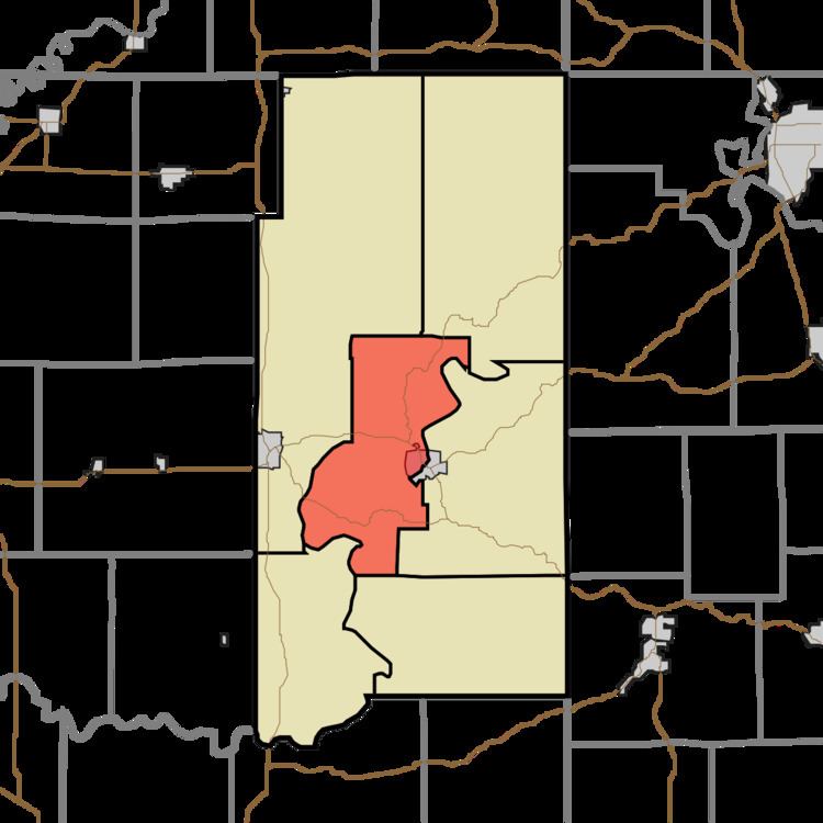
- Map of Center Township IN USA
- Geography
- Cities towns villages
- Unincorporated towns
- Cemeteries
- Major highways
- School districts
- Political districts
- References
Map of Center Township, IN, USA
Geography
According to the 2010 census, the township has a total area of 40.21 square miles (104.1 km2), of which 39.46 square miles (102.2 km2) (or 98.13%) is land and 0.75 square miles (1.9 km2) (or 1.87%) is water.
Cities, towns, villages
Unincorporated towns
(This list is based on USGS data and may include former settlements.)
Cemeteries
The township contains these three cemeteries: Hall, McBrides and Sholts.
Major highways
School districts
Political districts
References
Center Township, Martin County, Indiana Wikipedia(Text) CC BY-SA