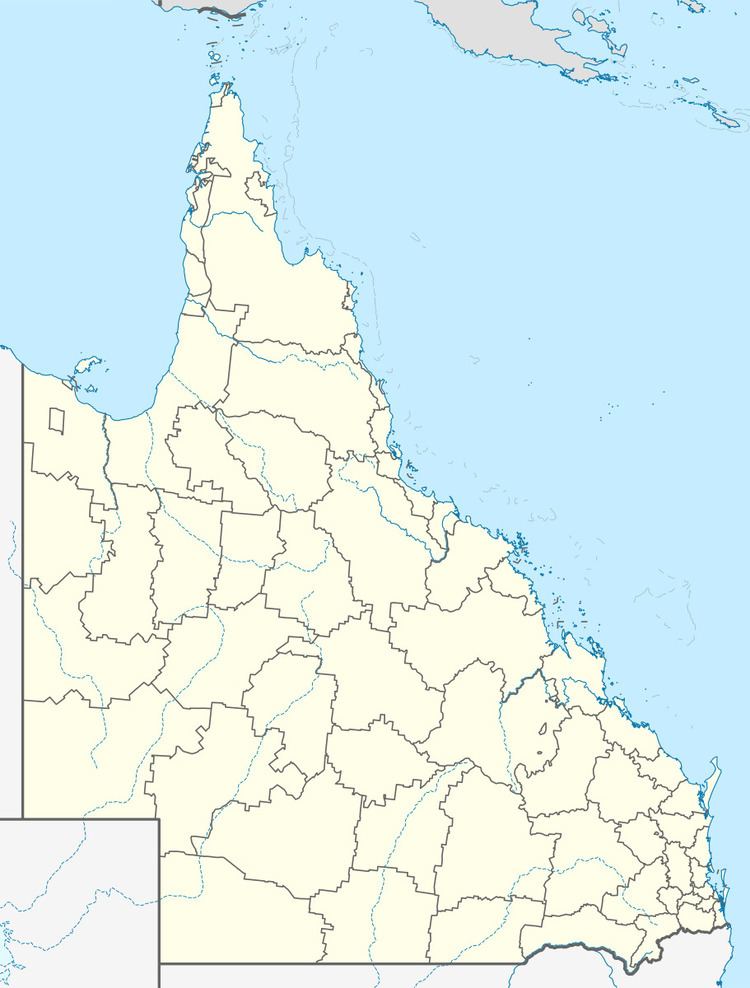
Population 5,878 (2011 census) Postal code 4350 | Postcode(s) 4350 Area 3.1 km² | |
 | ||
Location 4 km (2 mi) SSE of Toowoomba | ||
Centenary Heights is a suburb of Toowoomba in the Toowoomba Region, Queensland, Australia, located 4 kilometres (2 mi) from the central business district.
Contents
Map of Centenary Heights QLD 4350, Australia
History
Previously part of Middle Ridge, the area was named Centenary Heights in 1960 in honour of the separation of Queensland from New South Wales in 1859.
Schools
The suburb contains two public schools and two private schools: Centenary Heights State High School (1968), Gabbinbar State School (1972); St Thomas More's Primary School (Catholic, 1961) and Martin Luther Primary School (Lutheran, 1977).
Recreation
The suburb has two parks: Emmerson Park, which includes two separate play areas, a barbecue, and a significant planting of mature trees; and Horners Reserve, which includes one small park and a large town water storage reserve.
