
Topo map OS Landranger 160 Prominence 178 m | OS grid SO086137 Elevation 617 m | |
 | ||
Listing Marilyn, Hewitt, Nuttall Similar Waun Rydd, Pen y Fan, Fan Llia, Fan Fawr, Craig Cerrig‑gleisiad | ||
Cefn yr Ystrad is a mountain in the Brecon Beacons National Park in Wales. It is an outlier of the Central Beacons group.
Contents
Map of Cefn yr Ystrad, Merthyr Tydfil, UK
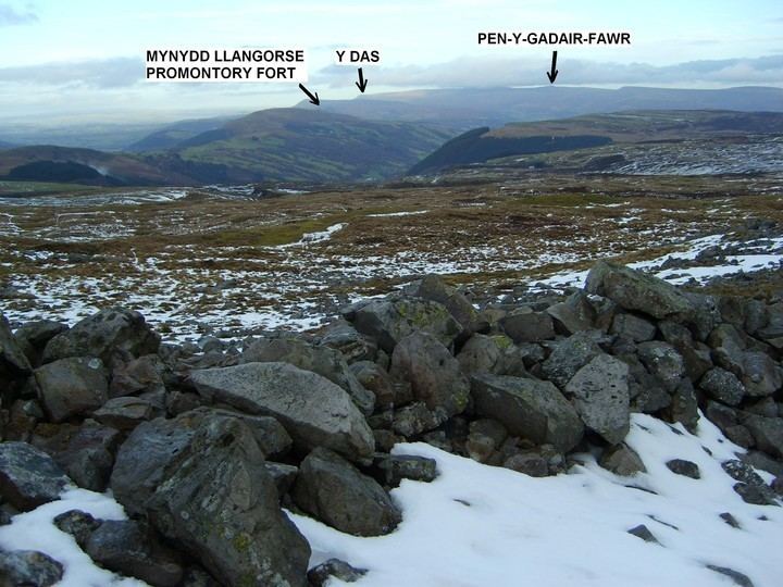
The broad northeast - southwest aligned ridge reaches an elevation of 617 metres (2,024 ft). One of the southernmost peaks in the Brecon Beacons, it rises to the east of Pontsticill Reservoir. The summit area is a great stretch of wild moorland, with the highest point marked by a trig point.
Geology
The hill is formed from successive layers of Carboniferous Limestone and the overlying Twrch Sandstone (formerly known as the Basal Grit of the Millstone Grit). There are extensive ice-smoothed pavements of the latter and loose rock abounds. The crest and southern slopes of the hill are home to dozens of shakeholes, some of which reach considerable proportions.
Access
The hill lies entirely within open country and so access on foot is freely available. A bridleway running northeast from Pontsticill skirts the northwestern edge of the hill bound for Dyffryn Crawnon and the Usk Valley.