
Topo map USGS Simon Country United States of America | Elevation 2,465 m District Mineral County, Nevada | |
 | ||
The Cedar Mountains are a mountain range in Mineral County, Nevada and is situated in the Walker Lane region of Western Nevada. It was the site of a magnitude 7.2 earthquake on December 20, 1932.
Contents
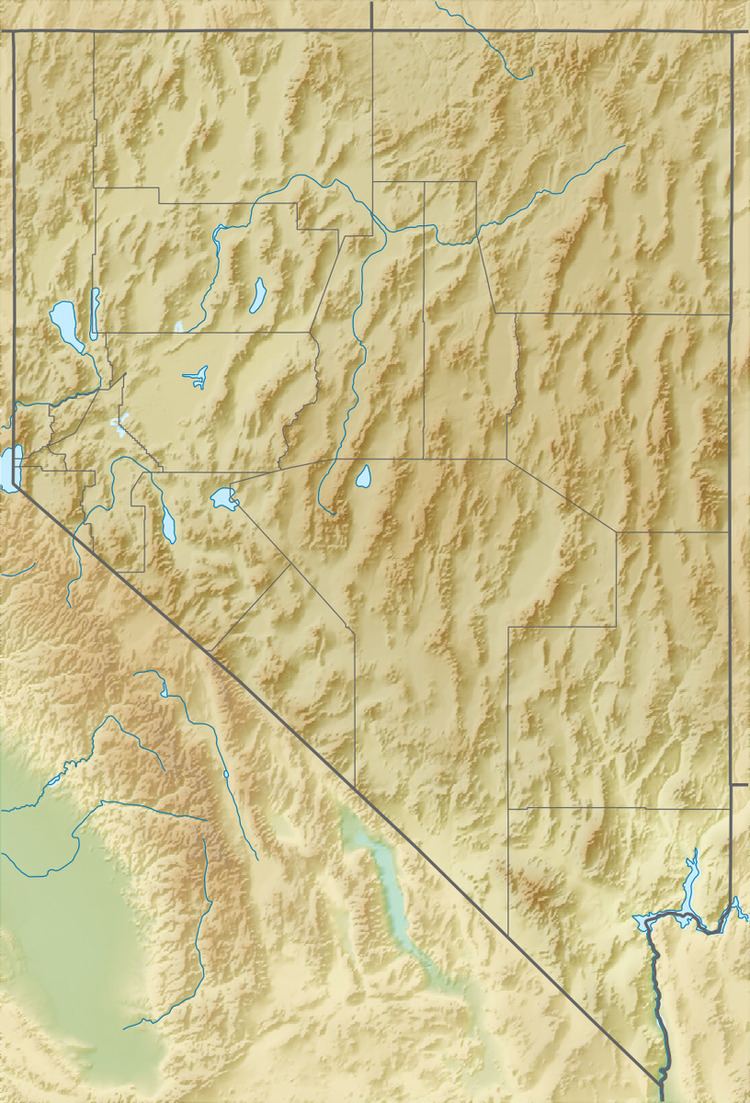
Map of Cedar Mountains, Nevada, USA
1932 earthquakeEdit
The earthquake originated in an uninhabited desert region. Mines and ore-treating plants were damaged and two cabins, one of stone and one of adobe, were destroyed. Shocks were felt in the Nevada towns of Tonopah, Mina, Nevada, Luning, Nevada and Fallon as well as others. Reports included cracks in the ground (Luning) and downed chimneys (Mineral County, Luning and Mina). Boulders were dislodged from hillsides and cliffs in the area, large landslides were reported and groundwater changes were observed in local springs and wells. No loss of life or injuries were reported.
There was one foreshock, and the 7.2 mainshock was followed by many aftershocks; the main shock was felt from the Rocky Mountains to the Pacific and from Southern Oregon to San Diego, California.