
Country United States FIPS code 31-08185 Elevation 311 m Population 394 (2013) Area code 402 | Time zone Central (CST) (UTC-6) GNIS feature ID 0827994 Zip code 68016 Local time Tuesday 12:30 AM | |
 | ||
Weather 4°C, Wind W at 40 km/h, 59% Humidity Area 2.823 km² (148 ha Land / 135 ha Water) | ||
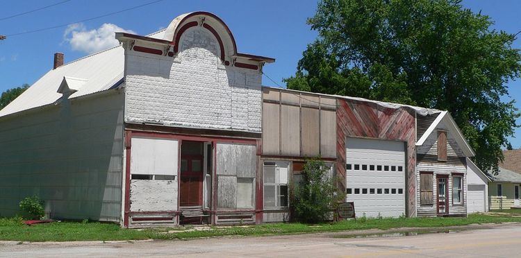
Cedar Creek is a village in Cass County, Nebraska, United States. The population was 390 at the 2010 census.
Contents
Map of Cedar Creek, NE, USA
History
Cedar Creek was founded in 1865, and grew slowly until the railroad was built through the settlement in 1870. Cedar Creek took its name from a nearby creek, which was named for a grove of cedar trees.
Geography
Cedar Creek is located at 41°2′24″N 96°6′7″W (41.040098, -96.101979).
According to the United States Census Bureau, the village has a total area of 1.09 square miles (2.82 km2), of which, 0.57 square miles (1.48 km2) of it is land and 0.52 square miles (1.35 km2) is water.
2010 census
As of the census of 2010, there were 390 people, 170 households, and 125 families residing in the village. The population density was 684.2 inhabitants per square mile (264.2/km2). There were 312 housing units at an average density of 547.4 per square mile (211.4/km2). The racial makeup of the village was 99.5% White and 0.5% from two or more races. Hispanic or Latino of any race were 0.8% of the population.
There were 170 households of which 25.9% had children under the age of 18 living with them, 63.5% were married couples living together, 7.6% had a female householder with no husband present, 2.4% had a male householder with no wife present, and 26.5% were non-families. 23.5% of all households were made up of individuals and 11.1% had someone living alone who was 65 years of age or older. The average household size was 2.29 and the average family size was 2.68.
The median age in the village was 50.3 years. 20.3% of residents were under the age of 18; 4.1% were between the ages of 18 and 24; 19.7% were from 25 to 44; 30.8% were from 45 to 64; and 25.1% were 65 years of age or older. The gender makeup of the village was 48.7% male and 51.3% female.
2000 census
As of the census of 2000, there were 396 people, 168 households, and 133 families residing in the village. The population density was 566.1 people per square mile (218.4/km²). There were 292 housing units at an average density of 417.5 per square mile (161.1/km²). The racial makeup of the village was 98.74% White, 0.25% from other races, and 1.01% from two or more races.
There were 168 households out of which 21.4% had children under the age of 18 living with them, 67.9% were married couples living together, 9.5% had a female householder with no husband present, and 20.8% were non-families. 16.7% of all households were made up of individuals and 8.9% had someone living alone who was 65 years of age or older. The average household size was 2.36 and the average family size was 2.63.
In the village, the population was spread out with 18.2% under the age of 18, 4.3% from 18 to 24, 23.0% from 25 to 44, 31.8% from 45 to 64, and 22.7% who were 65 years of age or older. The median age was 49 years. For every 100 females there were 87.7 males. For every 100 females age 18 and over, there were 89.5 males.
As of 2000 the median income for a household in the village was $44,479, and the median income for a family was $54,063. Males had a median income of $33,750 versus $25,000 for females. The per capita income for the village was $22,030. About 5.7% of families and 5.9% of the population were below the poverty line, including 4.2% of those under age 18 and 5.1% of those age 65 or over.