
Founded 1855 Website www.cassne.org Population 25,357 (2013) Unemployment rate 2.8% (Apr 2015) | Area 1,466 km² | |
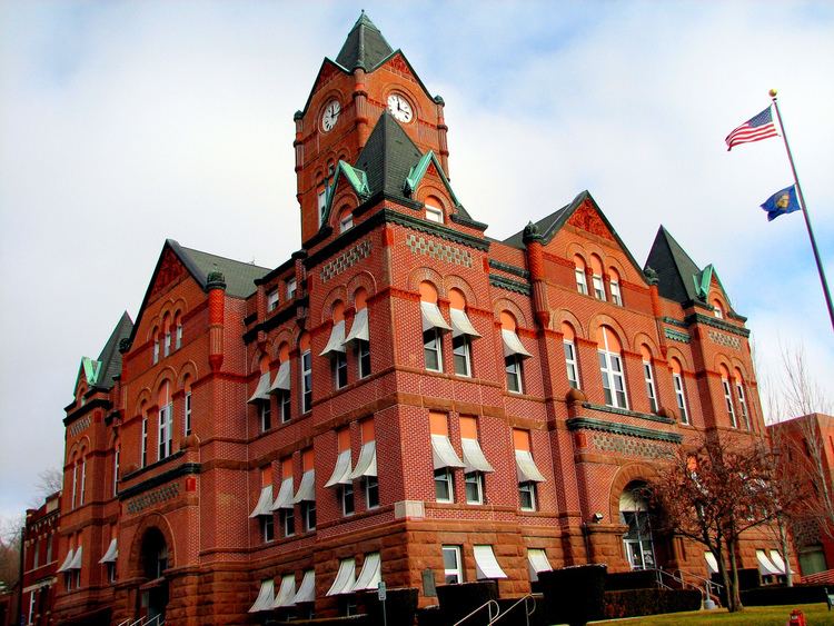 | ||
Points of interest Strategic Air Comman, Eugene T Mahoney State Park, Rhylander Park, Slattery Vintage Estates, Nebraska's Wildlife Safari Park | ||
Cass County is a county in the U.S. state of Nebraska. As of the 2010 census, the population was 25,241. Its county seat is Plattsmouth. The county was formed in 1855 and named after General Lewis Cass.
Contents
- Map of Cass County NE USA
- The fay barn cass county nebraska usa
- Geography
- Adjacent counties
- Demographics
- Cities
- Unincorporated communities
- Census divisions
- References
Map of Cass County, NE, USA
Cass County is included in the Omaha-Council Bluffs, NE-IA Metropolitan Statistical Area.
In the Nebraska license plate system, Cass County is represented by the prefix 20 (it had the twentieth-largest number of vehicles registered in the county when the license plate system was established in 1922).
The fay barn cass county nebraska usa
Geography
According to the U.S. Census Bureau, the county has an area of 566 square miles (1,470 km2), of which 557 square miles (1,440 km2) is land and 8.4 square miles (22 km2) (1.5%) is water.
Adjacent counties
Due to its proximity to Cass County, Iowa, and because both of those counties receive most of their broadcasts from Omaha, Nebraska, references to 'Cass County' must be frequently disambiguated, or result in confusion.
Demographics
As of the census of 2000, there were 24,334 people, 9,161 households, and 6,806 families residing in the county. The population density was 44 people per square mile (17/km²). There were 10,179 housing units at an average density of 18 per square mile (7/km²). The racial makeup of the county was 97.89% White, 0.18% Black or African American, 0.30% Native American, 0.35% Asian, 0.02% Pacific Islander, 0.35% from other races, and 0.92% from two or more races. 1.46% of the population were Hispanic or Latino of any race. 39.4% were of German, 9.6% American, 8.8% Irish and 7.9% English ancestry according to Census 2000.
There were 9,161 households out of which 35.80% had children under the age of 18 living with them, 63.30% were married couples living together, 7.60% had a female householder with no husband present, and 25.70% were non-families. 21.60% of all households were made up of individuals and 9.40% had someone living alone who was 65 years of age or older. The average household size was 2.63 and the average family size was 3.07.
In the county, the population was spread out with 27.90% under the age of 18, 7.00% from 18 to 24, 29.00% from 25 to 44, 23.80% from 45 to 64, and 12.30% who were 65 years of age or older. The median age was 37 years. For every 100 females there were 97.70 males. For every 100 females age 18 and over, there were 95.00 males.
The median income for a household in the county was $46,515, and the median income for a family was $52,196. Males had a median income of $36,639 versus $24,612 for females. The per capita income for the county was $20,156. About 4.20% of families and 5.20% of the population were below the poverty line, including 7.10% of those under age 18 and 4.50% of those age 65 or over.
Cities
Unincorporated communities
Census divisions
Cass County is divided into the following divisions, called precincts, except for the cities of Plattsmouth and Weeping Water.