
Country United States Area code(s) 928 Elevation 1,502 m Population 318 (2010) | Time zone Mountain (MST) (UTC-7) GNIS feature ID 2619 Area 44.12 km² | |
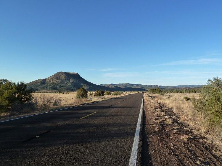 | ||
Cedar Creek is a census-designated place in Gila County, Arizona. Cedar Creek is located along Arizona State Route 73. The population as of the 2010 U.S. Census was 318.
Geography
Cedar Creek is located at 33.891399°N 110.195707°W / 33.891399; -110.195707.
According to the U.S. Census Bureau, the community has an area of 17.035 square miles (44.12 km2), all of it land.
References
Cedar Creek, Arizona Wikipedia(Text) CC BY-SA