
Basin countries United States | Islands None Surface elevation 3,010 m | |
 | ||
Similar Wasatch Range, Little Cottonwood Canyon, Alta Ski Area, Big Cottonwood Canyon, Doughnut Falls | ||
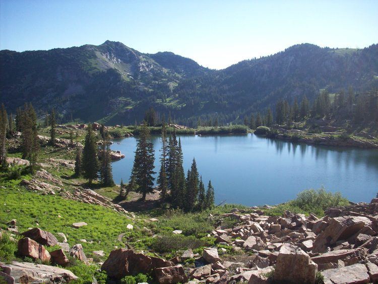
Cecret Lake (pronounced like Secret) is a small alpine lake in Albion Basin near Alta in the U.S. state of Utah. This area is also part of the Wasatch National Forest. Cecret Lake is also a protected watershed for Salt Lake City. It is not known why the name was spelled with a C instead of an S. Assumptions are that it was named by a miner working in the area. The United States Geological Survey officially spells the name of this lake as "Cecret Lake".
Contents
Map of Cecret Lake, Alta, UT 84092, USA
The lake can be accessed in the summer by parking on the main road in Little Cottonwood Canyon and hiking up a dirt trail to the lake. The lake is surrounded by quartz monzonite, commonly mistaken for granite rock. Cecret Lake is also surrounded by the Alta and Snowbird ski resorts.
Cecret Lake is considered a watershed area which supplies drinking water for the greater Salt Lake area. This drinking water comes from several hundred inches of snow each year that lasts into July.