
Time zone UTC -3 Dial plan +598 4459 (+4 digits) Population 1,609 (2011) | Postal code 27302 Climate Cfa Local time Tuesday 2:11 AM | |
 | ||
Weather 18°C, Wind N at 6 km/h, 97% Humidity | ||
Traves a r o cebollat en canoa desde paso aver as hasta pueblo cebollat marzo 2015
Cebollatí is a village in the Rocha Department of eastern Uruguay. It is the northernmost settlement of the department.
Contents
- Traves a r o cebollat en canoa desde paso aver as hasta pueblo cebollat marzo 2015
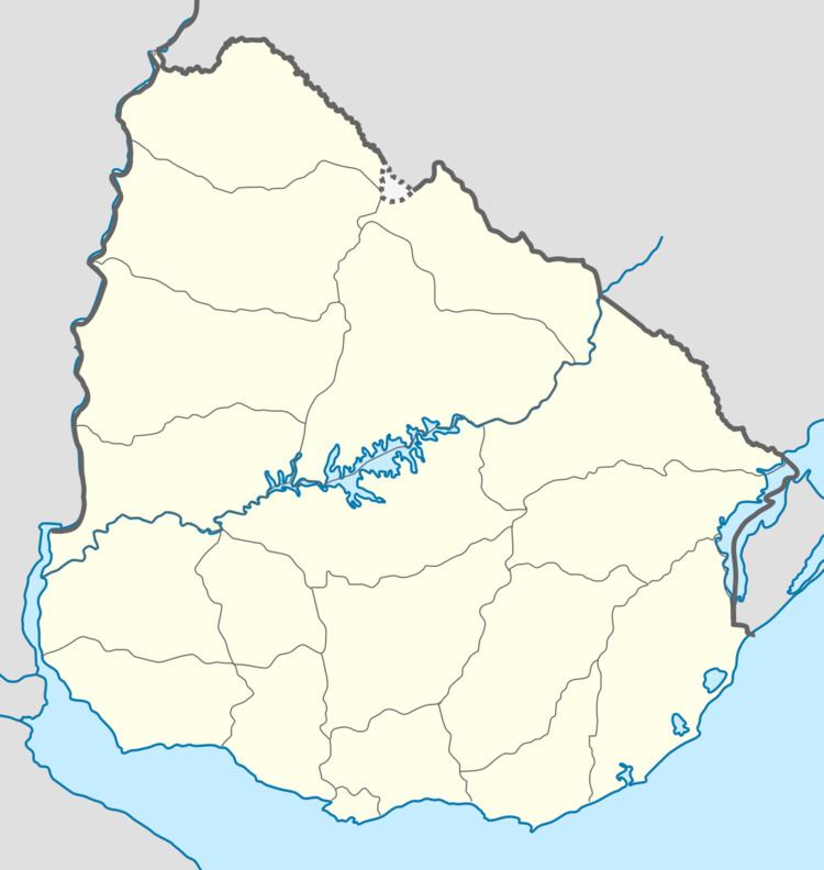
- Map of 27302 Cebollati Rocha Department Uruguay
- Llegada de raid 8km jrc cebollat
- Location and geography
- History
- Population
- References
Map of 27302 Cebollati, Rocha Department, Uruguay
Llegada de raid 8km jrc cebollat
Location and geography
The village is located on Route 15 64 kilometres (40 mi) northeast of Lascano and on the south bank of Cebollatí River, about 14 kilometres (8.7 mi) west of Lake Merín in the middle-line of which is the Brazilian border. A secondary street of 7.5 kilometres (4.7 mi) joins it via a small cable ferry with General Enrique Martínez of Treinta y Tres Department.
History
On 28 October 1919, it was declared a "Pueblo" (village) by decree Ley Nº 7.019.
Population
In 2011 Cebollatí had a population of 1,609.
Source: Instituto Nacional de Estadística de Uruguay
References
Cebollatí Wikipedia(Text) CC BY-SA