
Gaelic name Ceallasaigh Beag Area rank 189= Area 46 ha | OS grid reference NF918713 Highest elevation c. 10 m Island group Outer Hebrides Lieutenancy area Outer Hebrides | |
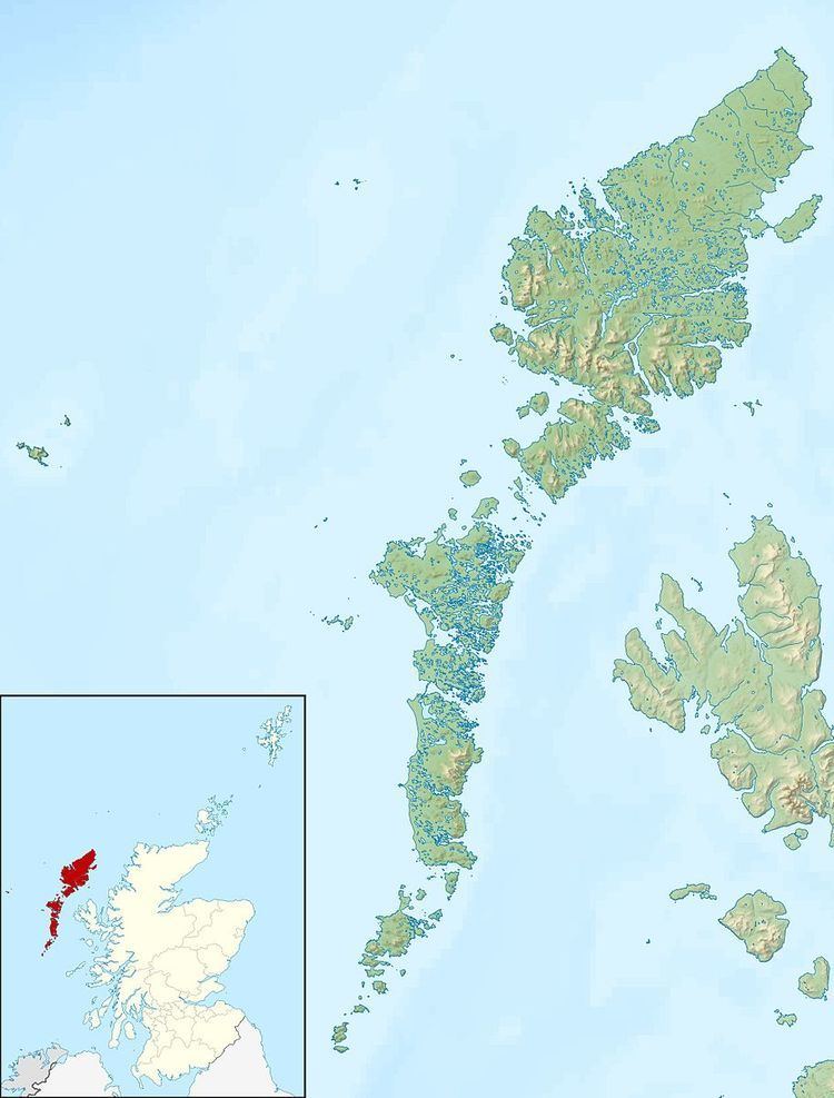 | ||
Ceallasaigh Beag (or Keallasay Beg) is a low-lying island in Loch Maddy off North Uist in the Outer Hebrides of Scotland. This an area of shallow lagoons filled and drained by the tides each day. Ceallasaigh Mòr lies to the south and these two islets are connected by a narrow strip of sand during some low tides.
Map of Ceallasaigh Beag, United Kingdom
The area is c. 46 hectares (110 acres) as measured from Ordnance Survey maps at high tide. Rick Livingstone’s Tables of the Islands of Scotland give an area of 55 hectares (140 acres), which may include land connected at low tide such as the outlying islet of Corr Eilean Keallasay.
Neither Ceallasaigh Mòr nor Ceallasaigh Beag are listed by Hamish Haswell-Smith in his definitive listings of islands greater in size than 40 hectares (99 acres) suggesting that he measured both of them as <40 ha, or that he considered them to be tidal and connected to mainland North Uist. It is possible that at some stages of the tide that these two islands are connected to one another and that Ceallasaigh Mòr is joined to North Uist near Bràigh Cheallasaigh.