
Country United States Time zone CST (UTC-6) Population 1,768 (2010) | Established November 7, 1854 Area 93.65 km² Local time Monday 10:09 PM | |
 | ||
Weather 18°C, Wind S at 51 km/h, 81% Humidity | ||
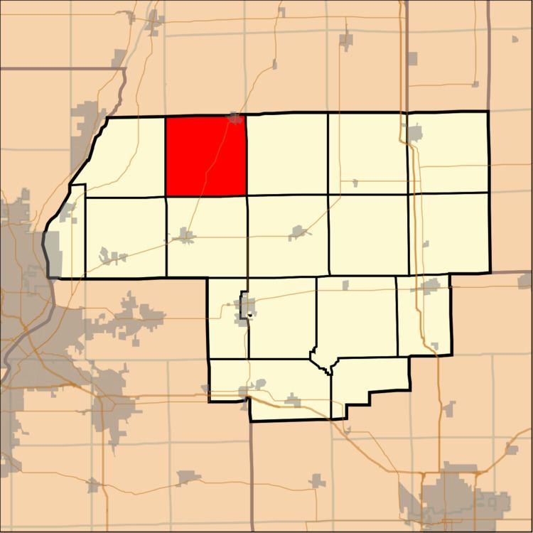
Cazenovia Township, Township 28 North, Range 2 West, is located in Woodford County, Illinois. It includes most of the town of Washburn, Illinois and the villages of Cazenovia and Low Point, Illinois and is traversed by State Route 89. As of the 2010 census, its population was 1,768 and it contained 721 housing units.
Contents
Map of Cazenovia Township, IL, USA
The township was named after the town of Cazenovia, New York.
Geography
According to the 2010 census, the township has a total area of 36.16 square miles (93.7 km2), of which 36.15 square miles (93.6 km2) (or 99.97%) is land and 0.01 square miles (0.026 km2) (or 0.03%) is water.
References
Cazenovia Township, Woodford County, Illinois Wikipedia(Text) CC BY-SA