
Last eruption Unknown | Volcanic arc/belt South Volcanic Zone Elevation 2,090 m | |
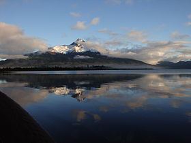 | ||
Location north of Aisén Fjord, and west of Yulton Lake, Aysén del General Carlos Ibáñez del Campo Region, Chile Similar Cerro del Azufre, Reclus, Auquihuato, Viedma, Andagua volcanic field | ||
Cay is a stratovolcano in the South Volcanic Zone of the Andes in Aysén del General Carlos Ibáñez del Campo Region, Chile. The volcano is located 15 km northeast of the larger Maca Volcano and about 230 km of the Chile Trench at the intersection of NW-SE and NE-SW faults of the Liquiñe-Ofqui Fault Zone. The volcano is composed from basalt and dacite and there is no evidence of Holocene activity. Below 1000m, several parasitic cones lie on the southwest flank of the volcano.
Map of Cay, Ays%C3%A9n, XI Regi%C3%B3n, Chile
References
Cay (volcano) Wikipedia(Text) CC BY-SA