
Country United States Time zone Central (CST) (UTC-6) Area code Area code 417 | Elevation 1,027 ft (313 m) GNIS feature ID 715508 Local time Monday 6:22 PM | |
 | ||
Weather 19°C, Wind S at 26 km/h, 76% Humidity | ||
Caulfield missouri tornado
Caulfield is an unincorporated community in western Howell County, Missouri, United States. It is located on U.S. Highway 160 and Missouri Route 101 about fifteen miles west of West Plains. The Ozark County line lies just to the west of Caulfield.
Contents
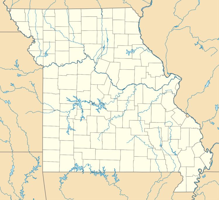
Map of Caulfield, MO 65626, USA
History
A post office called Caulfield has been in operation since 1929. The community has the name of Missouri governor Henry Stewart Caulfield, who took office in 1929.
On March 1, 2007, a tornado hit Caulfield, killing 7-year-old Caulfield resident Elizabeth Croney.
References
Caulfield, Missouri Wikipedia(Text) CC BY-SA