
Length 965 km | River mouth Magdalena River Source Colombian Massif | |
 | ||
Bridges Puente de Occidente, Puente Carlos Lleras Restrepo | ||
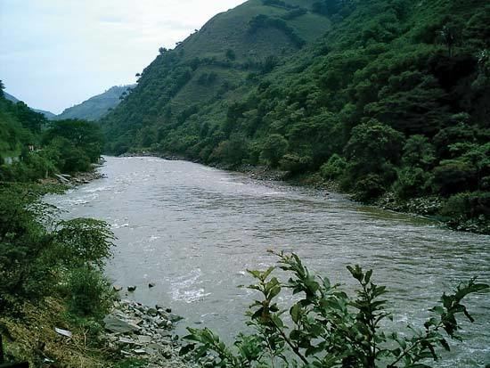
The Cauca River (Spanish: Río Cauca) is a river in Colombia that lies between the Occidental and Central cordilleras. From its headwaters in southwestern Colombia near the city of Popayán, it joins the Magdalena River near Magangué in Bolívar Department, and the combined river eventually flows out into the Caribbean Sea. It has a length of 965 km (600 mi) to its junction with the Magdalena, for a total length of 1,350 km (840 mi). from origin to seamouth. The river is under the supervision of the Corporación Regional del Cauca and the Corporación Autonoma Regional del Valle del Cauca, and is navigable for 640 km (400 mi) above its junction with the Magdalena.
Contents
Map of Cauca River, Colombia
Environmental issues
On November 18, 2007, Colombian newspaper El Tiempo reported that the river was receiving an average of 500 tons of residual waste a day. Pollution from the city of Popayán, seven gold mines that also add industrial pollutants such as mercury, some 8 sand mills, plus a couple of mines of coal and bauxite. Cali, the largest city on the river, depends on the river in a 76 percent. Adding to these other affluent rivers collect residual waters from other major cities and deposit an approximate of 330 tons of residual waste into the river. By the time it gets to Yumbo the river has no oxygen.