
Area 267 km² | Province/Island São Tomé Time zone UTC (UTC+0) Population 6,857 (2008) | |
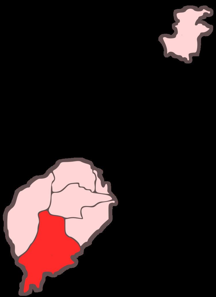 | ||
Caué is a district of São Tomé Province. Out of the seven districts that make up the equatorial Atlantic islands of São Tomé and Príncipe, it is one of the smallest in terms of population, but is the largest in area covering approximately 267 square kilometers. Its population is 6,857 (2012) in which it had became the highest population in 70 years. The district capital is São João dos Angolares. The municipality includes the small islet of Rólas where the equator is located right on the small village and has an equatorial monument there, much of the islet is south of the equator and being in the Southern Hemisphere.
Contents
Map of Caue, S%C3%A3o Tom%C3%A9 and Pr%C3%ADncipe
Population
Settlements
The main settlement is the town São João dos Angolares. Other settlements are:
Hamlets
Geography
The district has always been completely forested. Agricultural plantations and built up areas also dominates the district. Formerly founded throughout the island, wildlife are still founded in many parts of the district including the southern and the western parts.
Economy
50% of the district lied below the poverty line.
Its main industry is agriculture in the district and features several agricultural companies.