
Website www.catuipe.rs.gov.br Population 9,402 (2015) | Time zone BRT (UTC-3) Area 583.3 km² Local time Monday 8:09 PM | |
 | ||
Weather 26°C, Wind SE at 11 km/h, 79% Humidity | ||
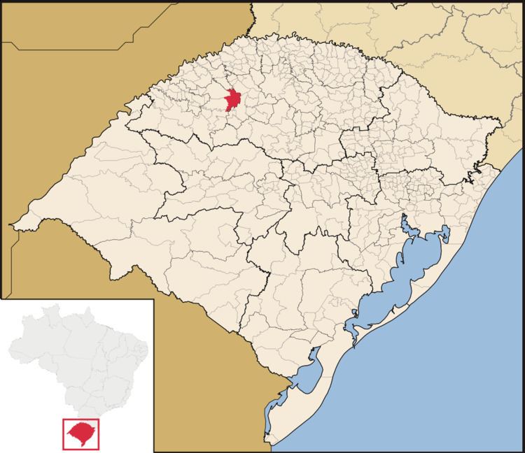
Catuípe is a municipality of the western part of the state of Rio Grande do Sul, Brazil. The population is 9,402 (2015 est.) in an area of 583.26 km². Its nickname is Land of Spring Water for the springs located around the municipality. It is located 419 km west of the state capital of Porto Alegre, northeast of Alegrete.
Contents
Map of Catu%C3%ADpe - RS, Brazil
References
Catuípe Wikipedia(Text) CC BY-SA