
Population 173 (2011) Civil parish Catthorpe District Harborough | OS grid reference SP552780 Sovereign state United Kingdom Local time Monday 10:46 PM Dialling code 01788 | |
 | ||
Weather 4°C, Wind W at 11 km/h, 89% Humidity | ||
Driving in the uk a14 expressway catthorpe m1 m6 to brampton a1
Catthorpe is a village and civil parish in the Harborough district of Leicestershire, England. It is located beside the River Avon and close to the A5 road, and hence close to the tripoint formed by Leicestershire, Northamptonshire and Warwickshire; the nearest town is Rugby, around 4 miles (6.4 km) to the southwest. According to the 2001 Census, the parish had a population of 179, falling slightly to 173 at the 2011 census.
Contents
- Driving in the uk a14 expressway catthorpe m1 m6 to brampton a1
- Map of Catthorpe Lutterworth UK
- References
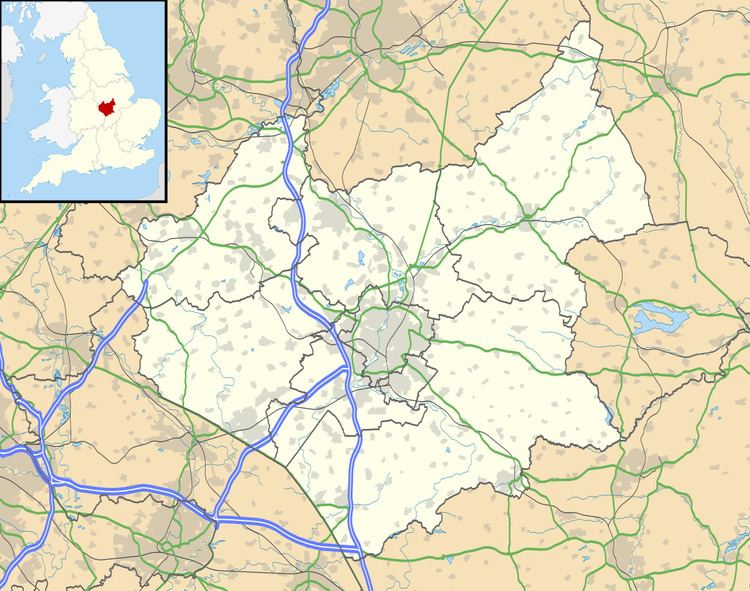
Map of Catthorpe, Lutterworth, UK
Catthorpe gives its name to the nearby road junction formed by the M1 and M6 motorways and the A14 road, which is known to be regularly congested owing to its non-standard design. The A14 passes under both motorways; these underpasses were built in the 1960s for the former A427, which passed through Catthorpe. In 2009, the Highways Agency announced their preferred design for the upgrade of the junction after a public consultation in 2008.
Catthorpe briefly came to national attention in 1999 when the alleged war criminal Konrāds Kalējs was discovered to be living at a nursing home near the village.
The parish church, dedicated to St Thomas, dates from the 14th century and is Grade II* listed. There is a local pub called the Cherry Tree and a locally famous Farm shop and restaurant, both are located on Main Street.