Topo map USGS Sacramento Peak Elevation 2,940 m | Easiest route Road Prominence 81 m | |
 | ||
Similar Salinas Peak, Victorio Peak, Organ Needle, South Baldy, Mount Hopkins | ||
Cathey Peak is a peak in the Sacramento Mountains, in the south-central part of the US State of New Mexico. It lies in Otero County, 10 miles (16 km) southeast of the community of Alamogordo.
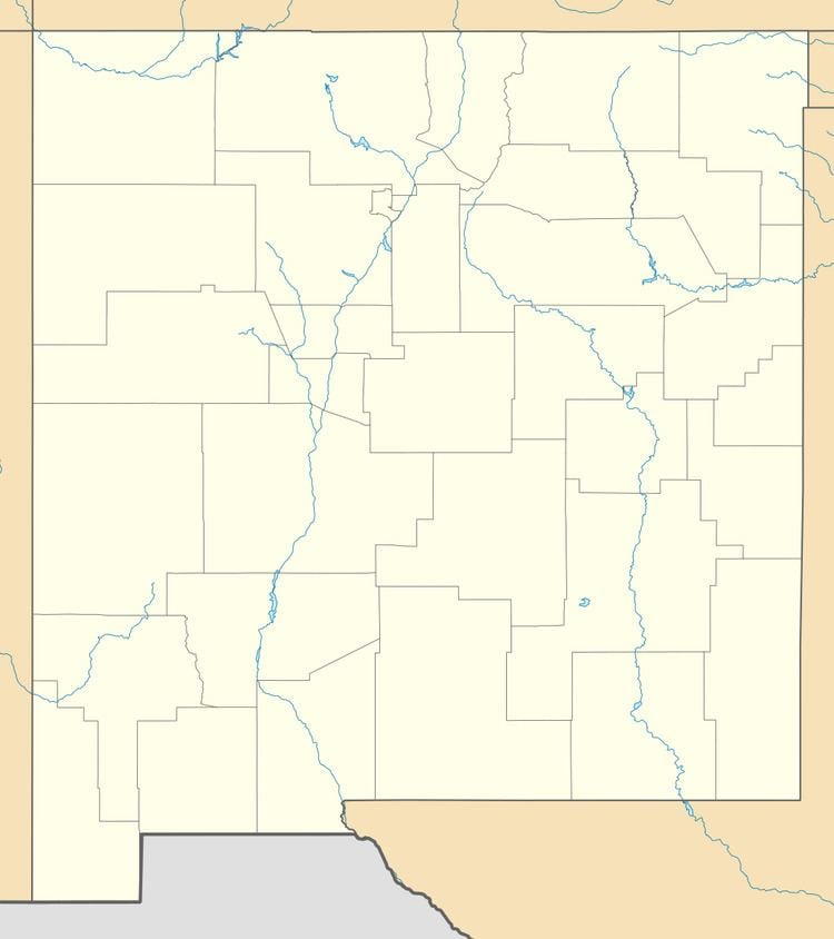
Map of Cathey Peak, New Mexico 88317, USA
Sacramento Peak, at 9,262 feet (2,823 m), is a nearby subpeak of Cathey Peak, and is more widely known due to the presence of several observatories on or near its summit. It is located at 32°47′16″N 105°49′15″W, 1.6 miles (2.6 km) southwest of Cathey Peak, and has a topographic prominence of approximately 80 feet (24 m). One of the two locations of the National Solar Observatory is on the summit itself, and the small town of Sunspot is less than one-half mile (0.8 km) to the northeast. The Apache Point Observatory is located on a promontory about one-half mile (0.8 km) south of the summit, and a cosmic ray observatory lies just over a mile (1.6 km) to the northeast.
Both peaks lie on the high western crest of the Sacramento Mountains, and hence have gentle, forested eastern slopes, and a steep, high escarpment to the west, descending to the Tularosa Basin. Both peaks can be accessed using New Mexico Scenic Byway 6563 from Cloudcroft.
